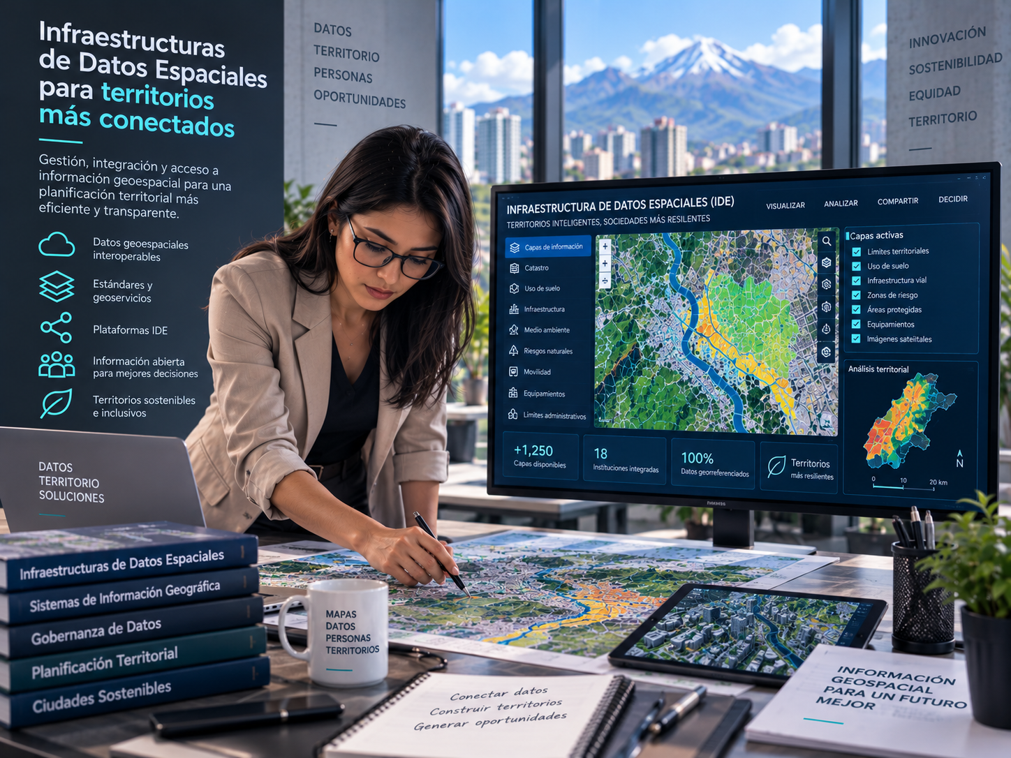
A course on spatial data infrastructures, interoperability, metadata, and access to territorial information.
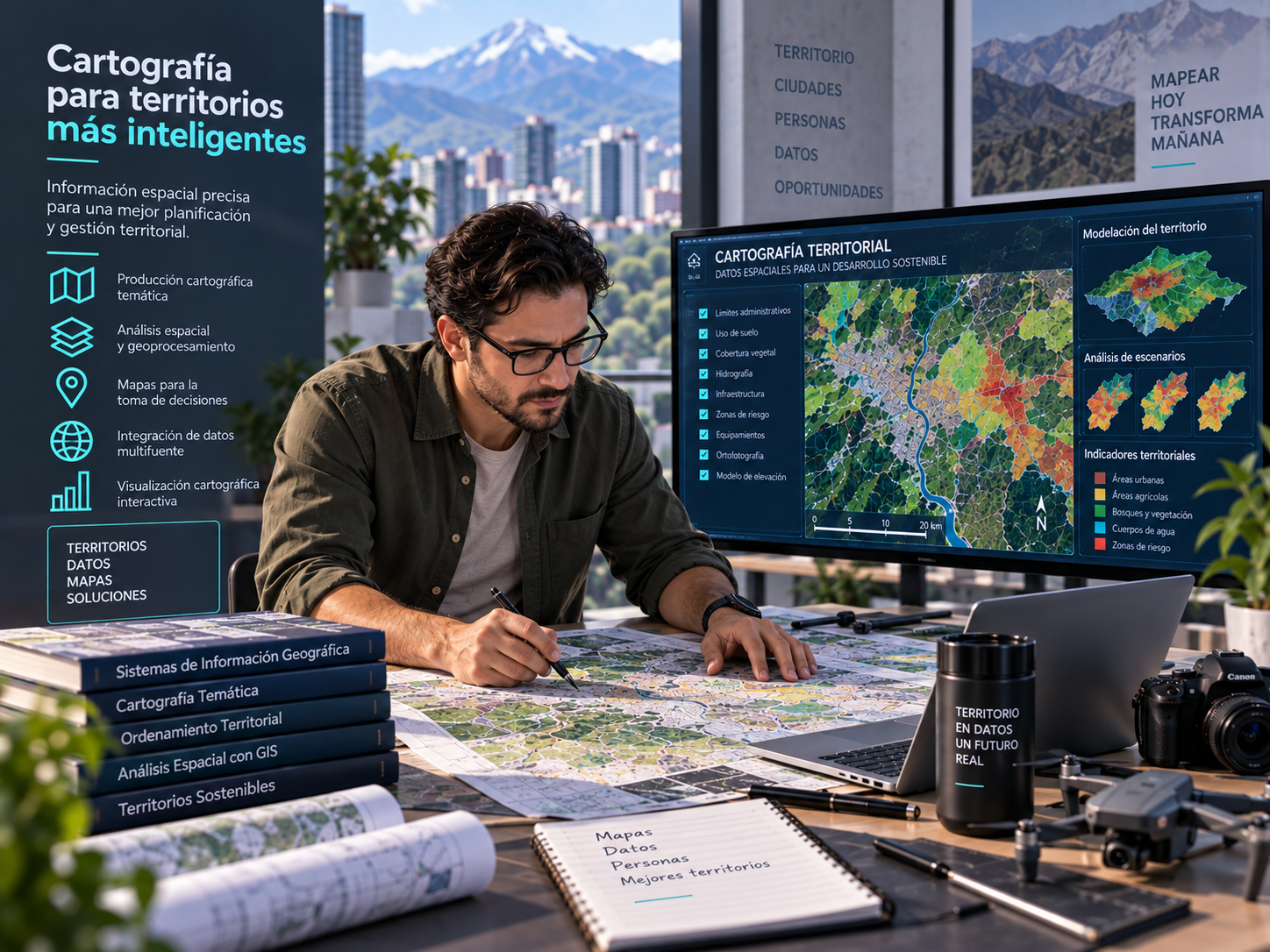
A course on territorial cartography, spatial representation, symbology, and geospatial communication.
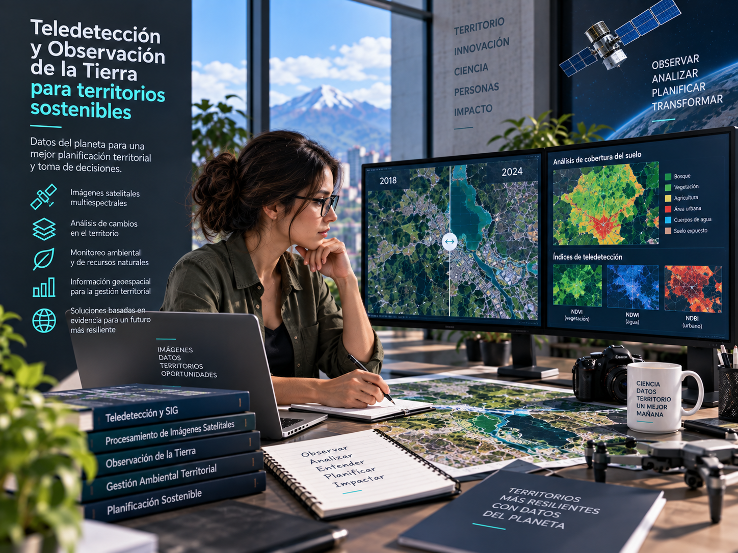
A course on remote sensing, Earth observation, image analysis, and territorial monitoring.

A course on collecting, validating, analyzing, and interpreting spatial data to support territorial decision-making.