Courses / GIS and Geospatial Analysis / Certificación Profesional en SIG para el Ordenamiento Territorial
GIS and Geospatial Analysis

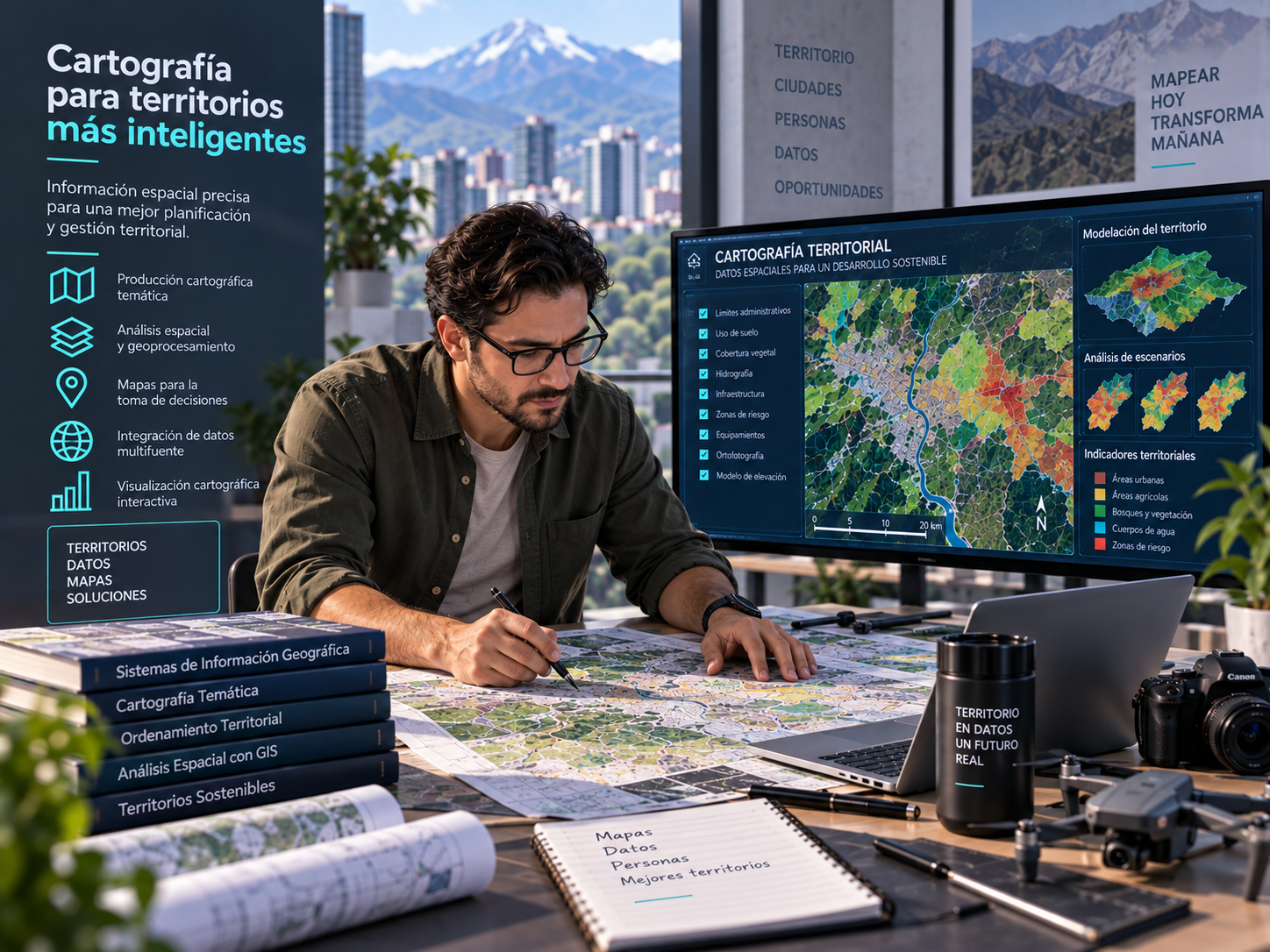
Professional GIS Certification for Spatial Planning

G
Instructor

GITP

Last updated

October 19, 2026

0 /0

What Will You Learn?

  • Apply GIS tools to spatial planning challenges.
  • Combine data, spatial analysis, and cartography to support planning alternatives.
  • Document methods, sources, and limitations in a geospatial workflow.

Material Includes

  • Course preparation guide and lessons
  • Digital study resources for independent learning
  • Formative review assessment

Requirements

  • Estimated duration: 10 hours. This is an indicative proposal pending approval by GITP.
  • No unconfirmed eligibility requirements are added. Please consult GITP's current certification framework.
  • Course assessments are formative and do not replace the official exam, assessment, or certification process.

Audience

  • For GIS, spatial planning, urban planning, and public administration professionals who prepare analyses for territorial planning instruments.

Course curriculum

CGIS-TP 2100 Preparation
Ruta orientativa basada en la matriz GITP; consulta el esquema vigente para requisitos oficiales.

  • CGIS-TP 2100 Preparation Guide
  • CGIS-TP 2100 Formative Assessment

Your instructors

Ratings and reviews

No reviews yet
No reviews yet
$429.00
This course includes:
Lessons 2
Duration 10h
Skill level Intermediate
Certificate Yes
Share Course
Page Link
Share On Social Media

Let’s Connect

Territories

About Us

GITP advances spatial planning and territorial management through standards, assessment, certification, and applied knowledge.

Contact

+593 123 456 789

info@demo3.socialmediaec.com

2 S Biscayne Boulevard Ste 3200 - 7290, Miami, Florida, 33131, United States

Copyright © 2026 GITP. All rights reserved.